Disasters such as forest fires, flooding, storms and volcanic eruptions threaten people and the environment and cause significant economic damage. As an example, the losses of just airlines caused by the eruption and ash cloud of the Eyjafjallajökull volcano in 2010 are estimated at more than 1.3 billion euros. In order to take precautionary measures in time, the spread of these events must be recognized at an early stage. Comprehensive data and real-time information are required for such predictions.
The solution: Connected space satellites for photogrammetric Earth observation
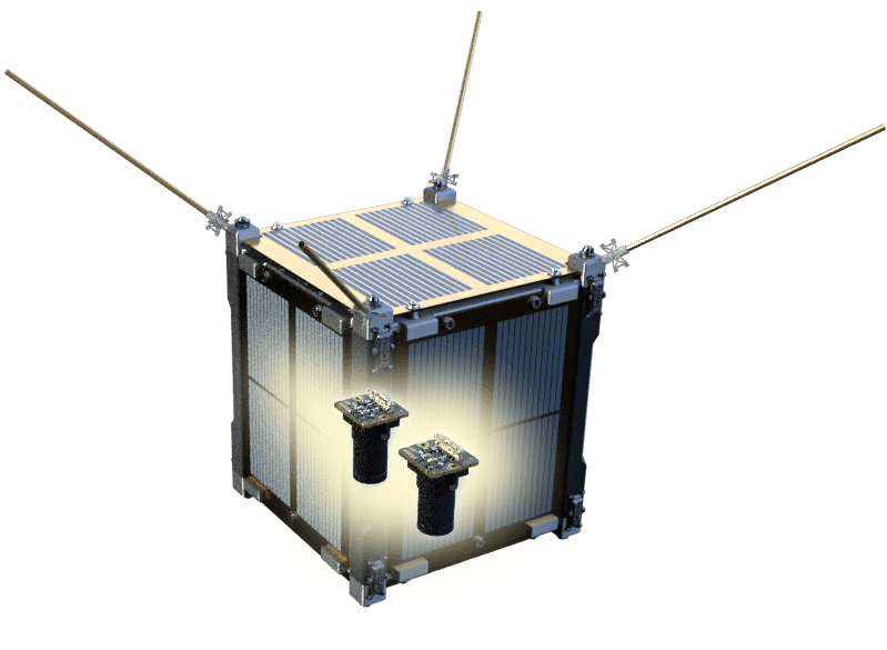
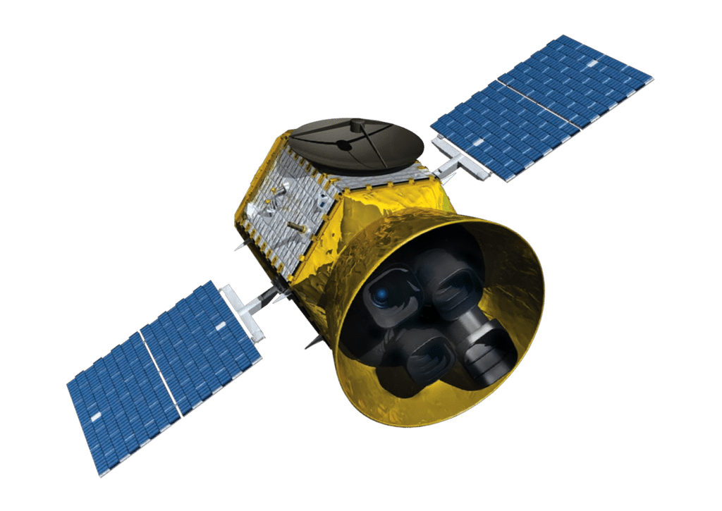
To improve future data collection, to enable predictions and to thereby prevent damage in the future, a series of nano-satellites for Earth observation are being developed as part of the research missions TIM (Telematics International Mission) and TOM (Telematics Earth Observation Mission). Numerous international partners are participating in these research missions, including the Center for Telematics e.V., the University of Würzburg, and the Technical University of Munich. Together, these national partners are developing three interconnected observation satellites.
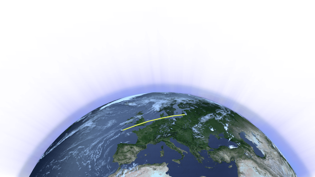
Flight formations enable 3D images
In space, the satellites assume a formation that allows them to capture data of the same locations, objects, or weather phenomena from different angles. The individual images from the satellite formation are converted into a 3D dataset. This enables detailed analyses and forecasts.
Measurements
Topographical features such as the size and spread of ash and smoke clouds, fires and floods can be precisely determined
Modeling
Researchers can use virtual models of landscapes or environmental events to analyze them better and to derive predictions.
Reconstructions
Changes in landscape can be reconstructed, which supports forecasts and the restoration of original conditions.
Time series analysis
The spread and development of weather and environmental events can be analyzed over time.
Take-off 2024
The TIM/TOM Geo-satellites are scheduled to launch into space in mid-2024. Based on the data transmitted back to Earth, extensive research will be conducted on how to best use this information for predictions, early warning systems, and to mitigate the impacts of events such as ash and dust clouds. Based on the experience from these missions, the Center for Telematics will then initiate and develop further Earth observation missions.
Topographical features such as the height of mountain ranges, the depth of valleys and other landscape features can be precisely determined.
Modeling
Researchers can use virtual models of landscapes or environmental events to analyze and understand them better.
Reconstructions
Changes in landscape can be reconstructed, which supports the prognosis or restoration of original conditions.
Time series analysis
The spread and development of weather and environmental events can be determined over a period of time.
Take-off scheduled for 2024
The TIM/TOM Geo-satellites are scheduled to launch into space in mid-2024. Based on the data transmitted back to Earth, extensive research will be conducted on how to best use this information for predictions, early warning systems, and to mitigate the impacts of events such as ash and dust clouds. Based on the experience from these missions, the Center for Telematics will then initiate and develop further Earth observation missions.
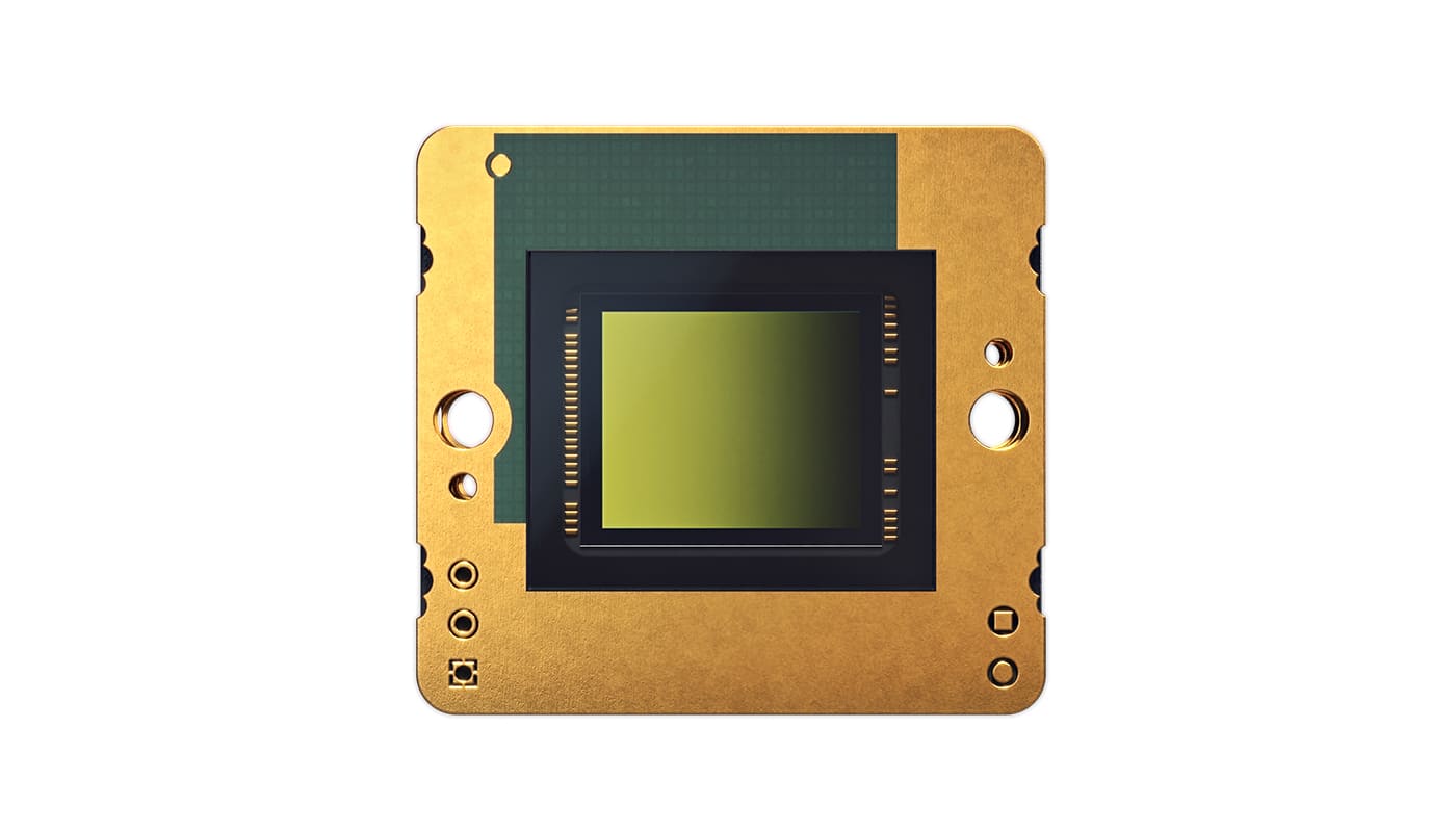
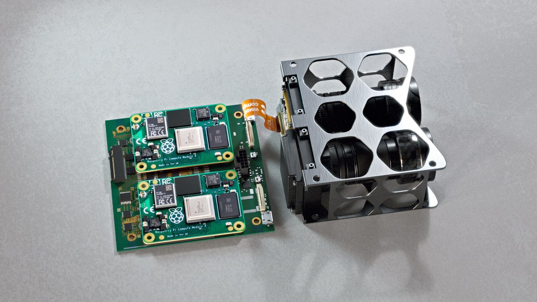
Reliable image capture with space-grade VC MIPI Cameras
Each of the three satellites is equipped with two MIPI camera modules from Vision Components. The VC MIPI® IMX250-C camera modules, with a resolution of five megapixels, offer an optimal balance between detailed accuracy for generating high-quality 3D images and a simultaneously large capture area to cover the Earth's surface. Another key factor for selecting cameras from Vision Components was the ultra-compact design of the modules, enabling the integration into the satellites.
Easy integration with RPi boards
To control the cameras and store and transmit the image data to the base station on Earth, the VC MIPI®Cameras are connected to Raspberry Pi processor boards. The embedded systems also perform image processing algorithms that extract features from the data and transmit them to the other satellites. This enables, for example, the precise positioning of the satellites and cameras, and to locate and identify the objects and phenomena captured.
VC MIPI : Cameras for space applications
Basic requirements for space cameras include durability and reliability without the need for maintenance, as well as high mechanical resilience. All components should be as small, light, and energy-efficient as possible to optimally utilize the limited payload capacity of rockets and satellites. Secure data transmission is also essential. The cameras must be resistant to radiation, such as solar winds, and extreme temperatures, to function in a vacuum and without atmospheric pressure.
VC MIPI® Cameras meet these crucial criteria for use in space:
Ultra-compact design
Vision Components has developed a customized connector for the particularly space-saving integration of the cameras into the satellites
Robust construction
Without any adjustments, VC MIPI®modules meet the requirements for radiation resistance and durability for use in space.
Made in Germany
VC MIPI®Cameras are developed and produced by Vision Components in Germany. Extensive serial testing ensures utmost quality and reliability.
ZfT – Center for Telematics e.V.
The Center for Telematics e.V. informs the industry about the opportunities associated with the use of telematics technologies. In particular, it offers industry support in the development of innovative products and services. The main areas of application are remote maintenance and remote commissioning of industrial plants, safety monitoring, support for auxiliary personnel in dangerous situations, telemedicine, remote training and traffic control.